
All Hikes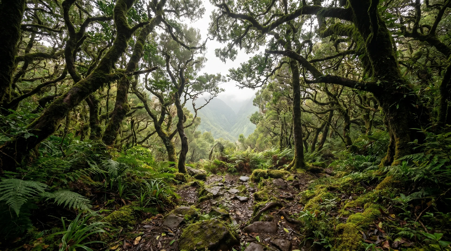

easy walkpoint to point
Caminho do Norte
Central Peaks & Plateau3.2 km
Distance
680m
Elevation gain
1.5-2h
Duration
CardioModerate · 3/5
TechnicalEasy · 2/5
ExposureEasy · 2/5
Short descent from Encumeada to Ribeira Grande through verdant forest. Connects to PR22 for extended routes.
Navigation
Download
Trail Map
Terrain © Mapzen / AWS Open Data
Elevation profile
GPX Track
Traced from OpenStreetMap. Works with Garmin, Komoot, AllTrails. Check it against signage on the trail.
Trail data © OpenStreetMap contributors (ODbL) · Elevation: Open-Meteo (Copernicus DEM)
Preparation
Know Before You Go
Hazards & Considerations
680m descent over short 3.2km distance
mediumSteep sections requiring knee stability
mediumAccess Points
Parking
Encumeada car park
Photography
Photography on This Trail
What to Shoot
Laurel ForestForest ValleyMossy Groves
Best Months
OctoberNovemberDecemberJanuaryFebruaryMarchAprilMay
Kit Notes
Standard zoom (24–70 mm). Light is soft under the canopy — bring a fast lens (f/2.8) or boost ISO. The descent to Ribeira Grande gives layered green compositions; shoot back uphill in late afternoon for backlit foliage.