
All Hikes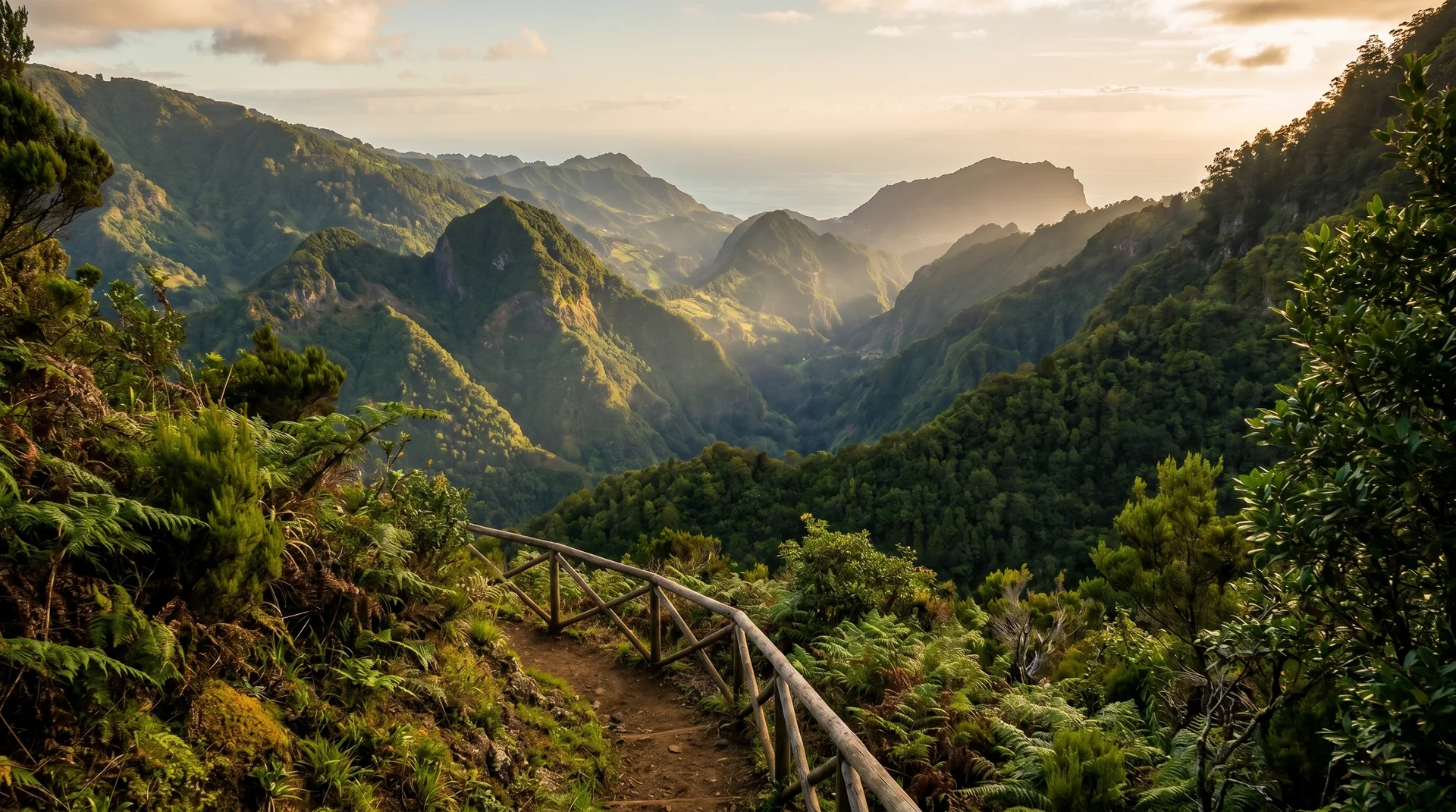

easy walkpoint to point
Vereda das Funduras
East (Machico to Ponta de São Lourenço)8.7 km
Distance
300m
Elevation gain
2.5-3.5h
Duration
CardioEasy · 2/5
TechnicalEasy · 2/5
ExposureEasy · 2/5
Scenic trail starting from Portela Viewpoint. Easy-moderate difficulty with panoramic views.
Navigation
Download
Trail Map
Elevation profile
GPX Track
Traced from OpenStreetMap. Works with Garmin, Komoot, AllTrails. Check it against signage on the trail.
Trail data © OpenStreetMap contributors (ODbL) · Elevation: Open-Meteo (Copernicus DEM)
Preparation
Know Before You Go
Hazards & Considerations
Standard levada/vereda hazards: wet surfaces
lowWeather variability common to Madeira
lowAccess Points
Parking
Vereda das Funduras trailhead parking
Photography
Photography on This Trail
What to Shoot
Valley PanoramaForest PathEastern Madeira
Best Months
MarchAprilMayJuneJulyAugustSeptemberOctober
Kit Notes
Standard zoom (24–70 mm). Starts at Portela Viewpoint — shoot the panorama from the trailhead, then capture forest interiors along the trail. Late afternoon light works for both ends.