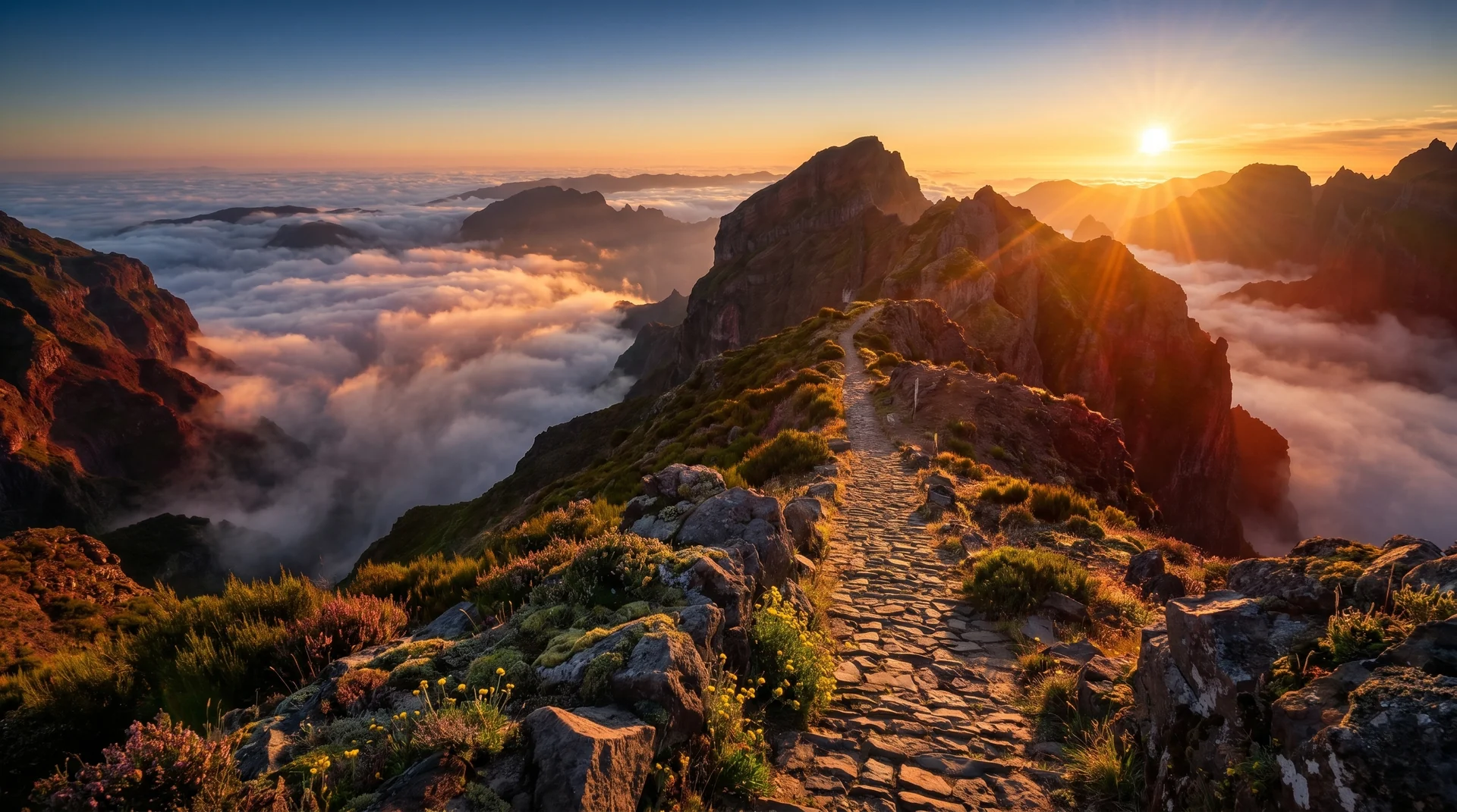
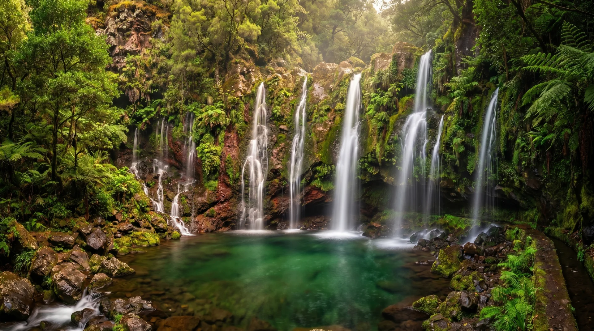
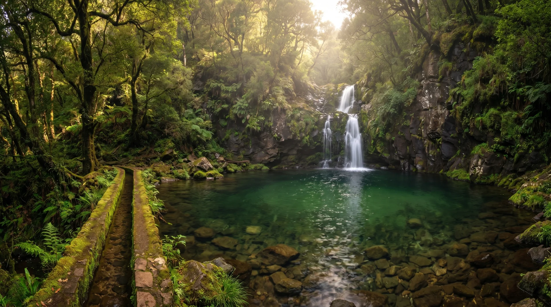
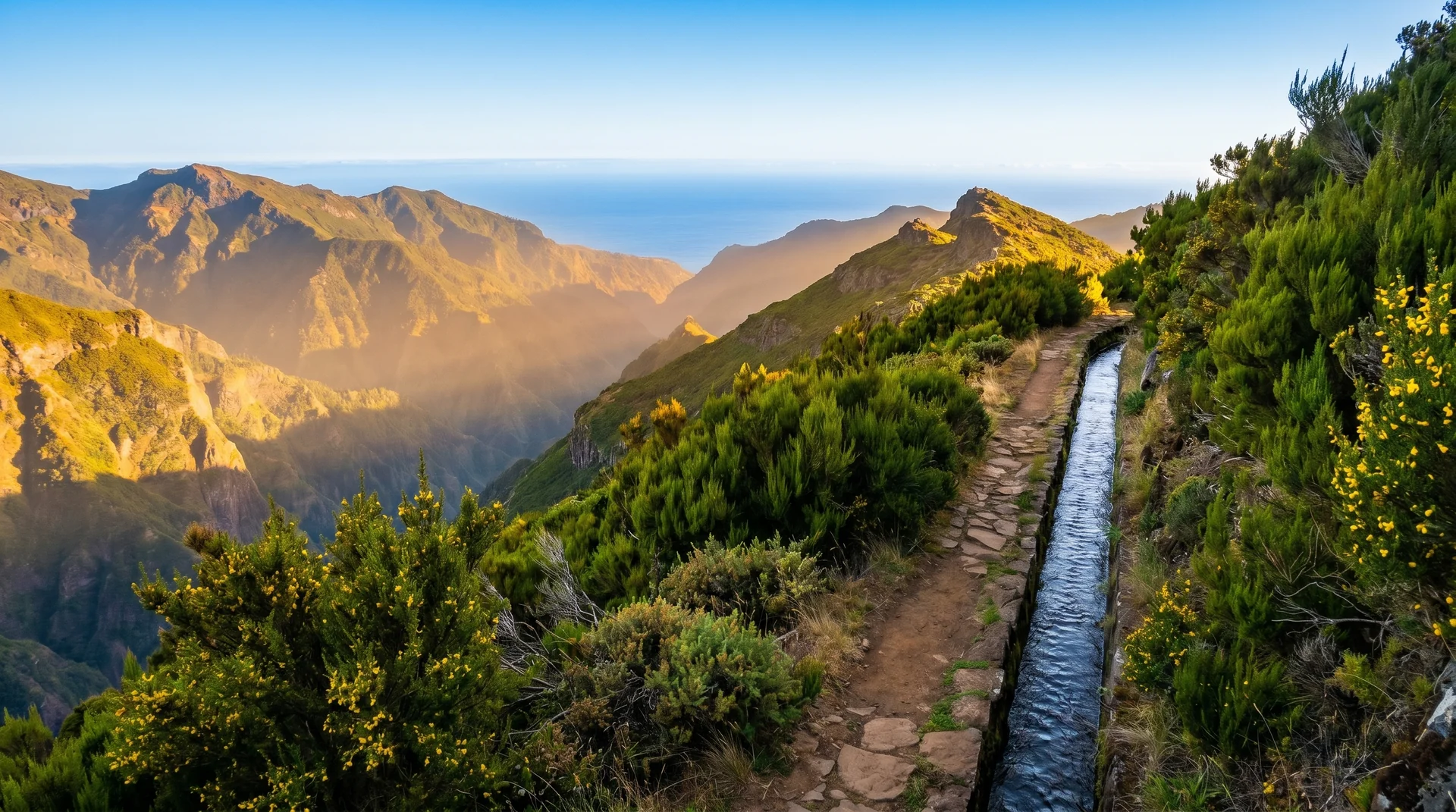
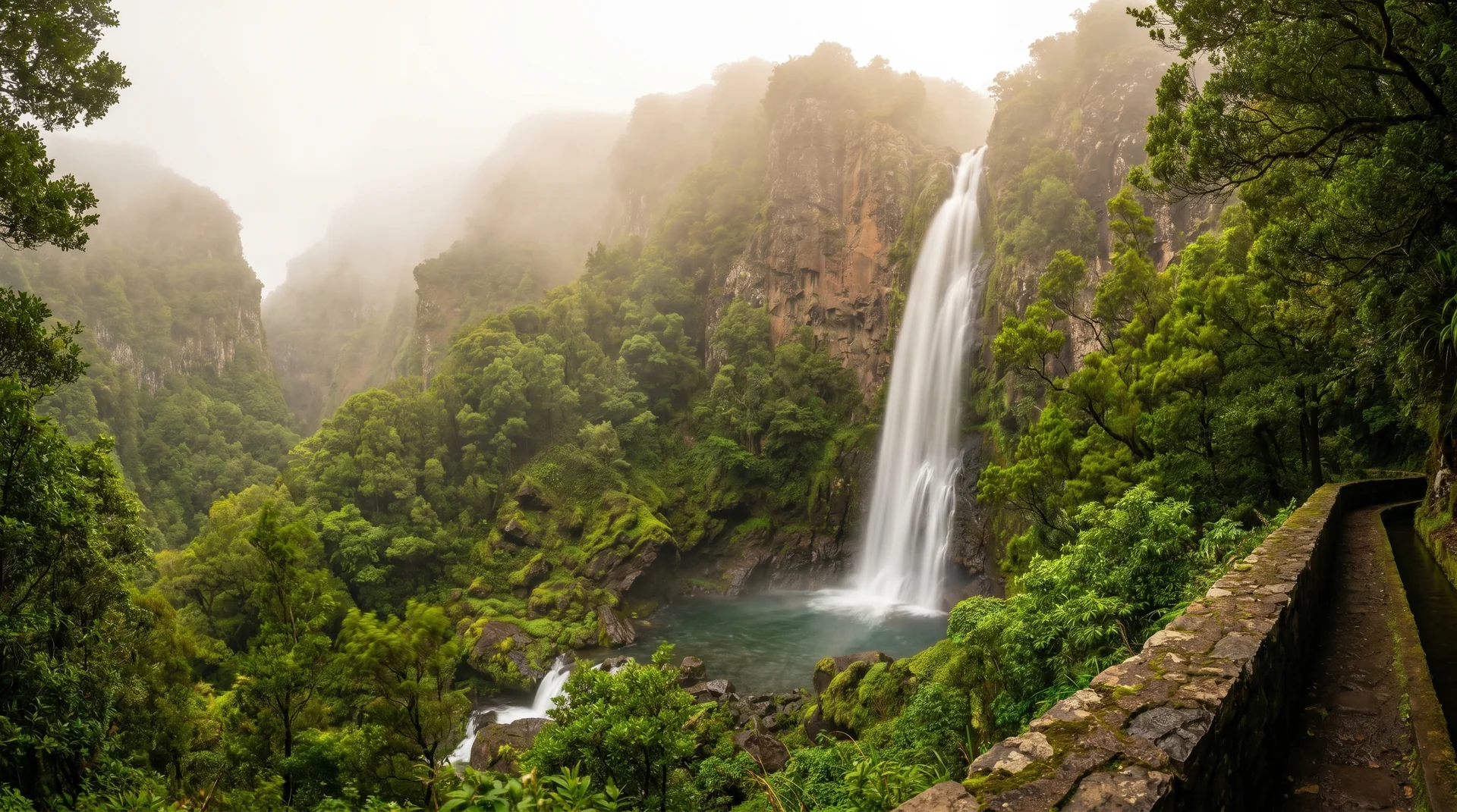
A near-level canal walk across the Paul da Serra plateau on wide, modern levada path. Open moorland rather than forest, which makes it one of the few walks here that stays clear when the laurel valleys are under cloud.
Navigation
Trail Map
Use ⌘ + scroll to zoom the map
Use two fingers to move the map
Elevation profile
GPX Track
Traced from OpenStreetMap. Works with Garmin, Komoot, AllTrails. Check it against signage on the trail.