

Vereda da Ilha
Northeast (Santana & Highlands)Open on the official trail list
Checked 4 Nov 2026 on Visit Madeira. Trails can close at short notice, so check again on the day.
8.2 km
Distance
200m
Elevation gain
3-3.5h
Duration
1274m
Elevation loss
Long one-way descent from the Pico Ruivo shelter down to the village of Ilha, losing about 1,270 m over 8.2 km through high heath and then laurel forest. Ends far from the trailhead, so arrange transport before you start.
Trail Map
Elevation profile
GPX Track
Traced from OpenStreetMap. Works with Garmin, Komoot, AllTrails. Check it against signage on the trail.
Trail data © OpenStreetMap contributors (ODbL) · Elevation: Open-Meteo (Copernicus DEM)
Know Before You Go
Hazards & Considerations
Access Points
Parking
Vereda da Ilha trailhead parking
Similar Hikes in Northeast (Santana & Highlands)
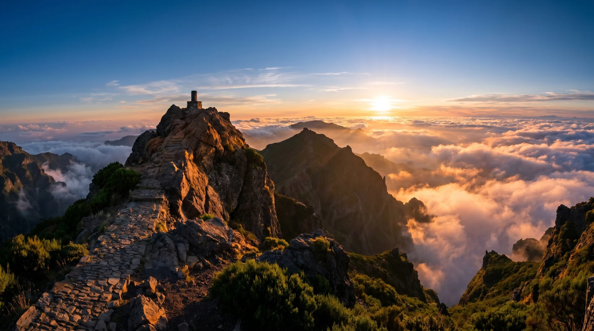
Photography on This Trail
What to Shoot
Best Months
Kit Notes
Standard 24–70 mm. Short uphill — shoot back across the trail for sky-and-ridge framing. Combine with Pico Ruivo summit for sunset shots; mountain hut bookable for overnight.