
All Hikes

mountainout and back
Vereda do Pico Ruivo (from Achada do Teixeira)
Northeast (Santana & Highlands)6 km
Distance
260m
Elevation gain
1.5-2.5h
Duration
260m
Elevation loss
CardioEasy · 2/5
TechnicalEasy · 2/5
ExposureEasy · 2/5
Shortest route to Madeira's highest peak (1862m). Mostly stairs, suitable for families but weather changes rapidly at altitude.
Navigation
Download
Trail Map
Elevation profile
GPX Track
Traced from OpenStreetMap. Works with Garmin, Komoot, AllTrails. Check it against signage on the trail.
Trail data © OpenStreetMap contributors (ODbL) · Elevation: Open-Meteo (Copernicus DEM)
Preparation
Know Before You Go
Hazards & Considerations
Rapid weather changes at 1862m altitude
highTemperature drops of 6°C per 1000m elevation
mediumFog obscuring trail markers and stairs
mediumAccess Points
Parking
Achada do Teixeira car park
Photography
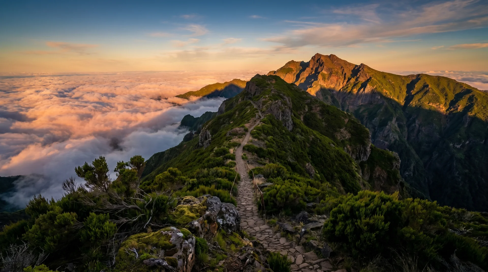
Photography on This Trail
What to Shoot
Mountain PeaksSunriseCloud SeaRidge Line
Best Months
AprilMayJuneJulyAugustSeptemberOctober
Kit Notes
24–70 mm covers most summit shots. Tripod for sunrise. Head torch for pre-dawn approach. Waterproof cover — summit weather changes fast. Mountain hut bookable for overnight stays.