

Caminho do Pináculo e Folhadal
Central Peaks & Plateau15 km
Distance
620m
Elevation gain
5.5-7h
Duration
3
Tunnels
Extreme levada with tunnels up to 900m, some of them waist-deep in water. Closes for long stretches; check the trail status before planning around it.
Trail Map
Elevation profile
GPX Track
Traced from OpenStreetMap. Works with Garmin, Komoot, AllTrails. Check it against signage on the trail.
Trail data © OpenStreetMap contributors (ODbL) · Elevation: Open-Meteo (Copernicus DEM)
Know Before You Go
Exposure warning — Vertigo risk
This trail has sections with significant drops or narrow ledges. If you're uncomfortable with heights, browse low-exposure alternatives.
Hazards & Considerations
Access Points
Parking
Encumeada car park
Similar Hikes in Central Peaks & Plateau
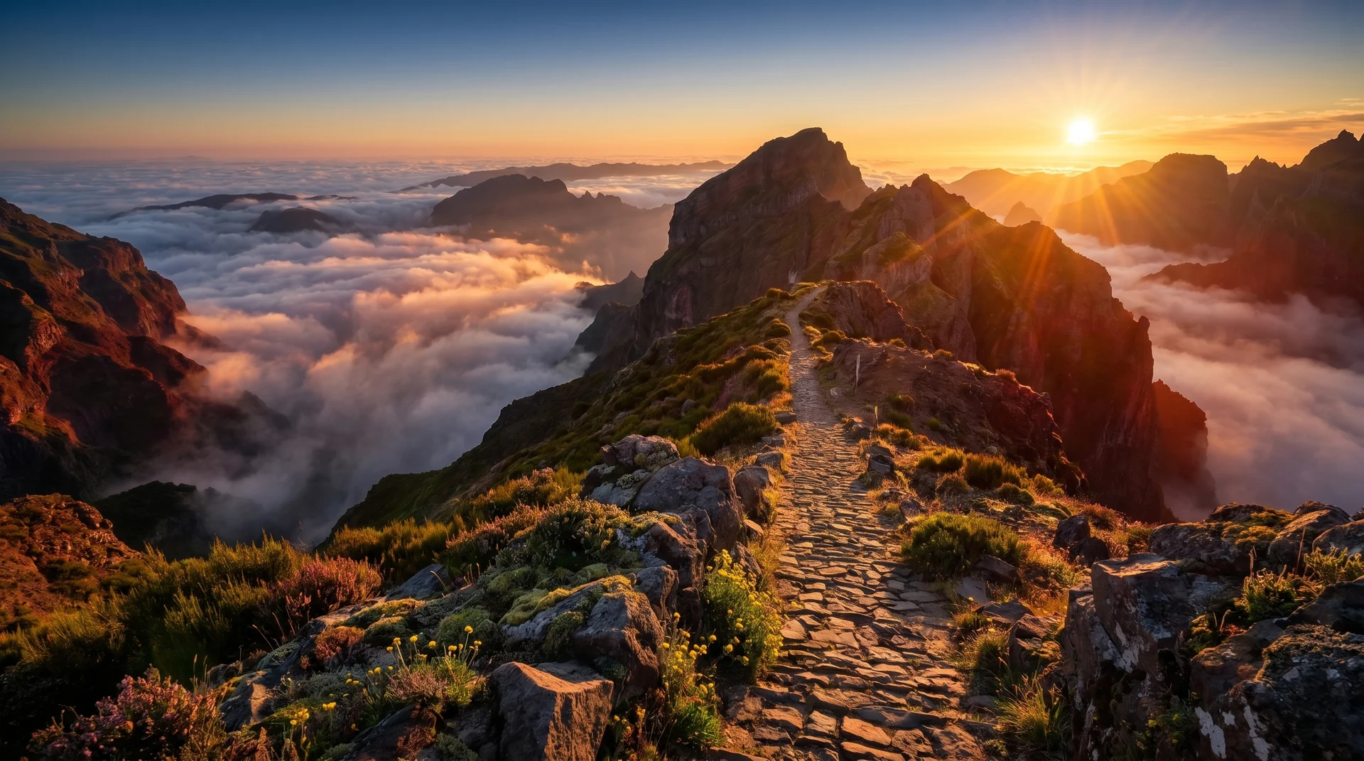
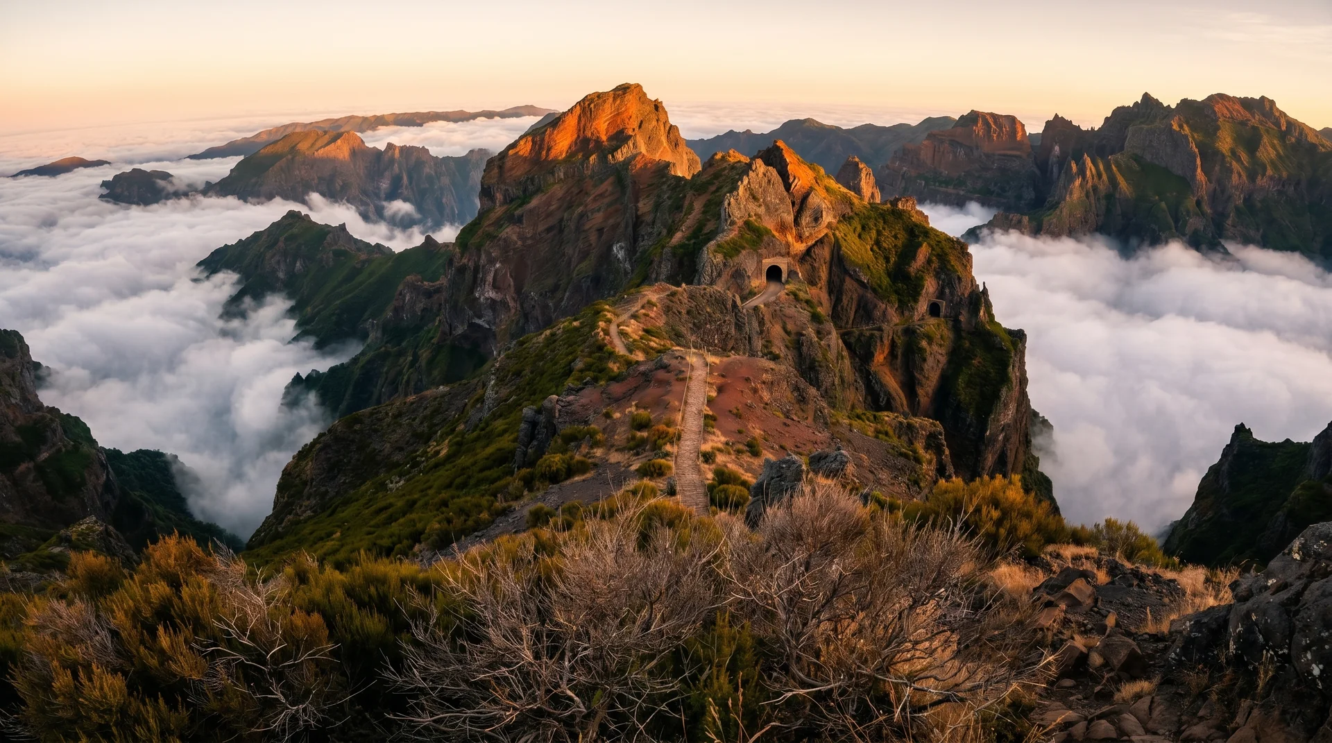
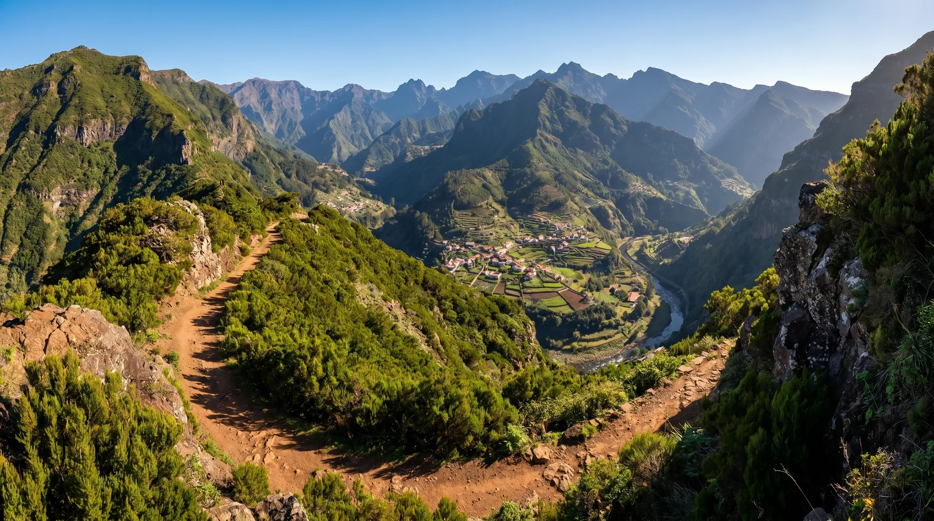
Photography on This Trail
What to Shoot
Best Months
Kit Notes
Wide-angle (14–24 mm) for the pinnacle formations. Stable tripod essential — wind exposure on ridges is brutal. Start before 7 AM to catch the cloud sea before it burns off. Currently closed; check status (anticipated April 2026 reopening).