

PR3 Vereda do Burro/Encumeada
Central Peaks & Plateau7.2 km
Distance
450m
Elevation gain
2.5-3.5h
Duration
935m
Elevation loss
2
Tunnels
Descent from Pico Arieiro to Encumeada along historic mountain path with panoramic views and exposed sections. Well-maintained trail with significant elevation loss and exposed ridge segments requiring sure footing.
Trail Map
Elevation profile
GPX Track
Traced from OpenStreetMap. Works with Garmin, Komoot, AllTrails. Check it against signage on the trail.
Trail data © OpenStreetMap contributors (ODbL) · Elevation: Open-Meteo (Copernicus DEM)
Know Before You Go
Exposure warning — Vertigo risk
This trail has sections with significant drops or narrow ledges. If you're uncomfortable with heights, browse low-exposure alternatives.
Access Points
Parking
Pico do Areeiro summit car park
Similar Hikes in Central Peaks & Plateau
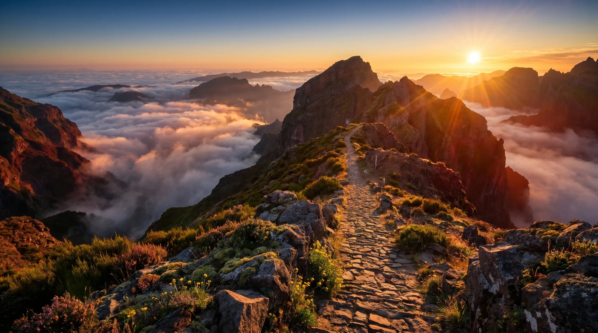
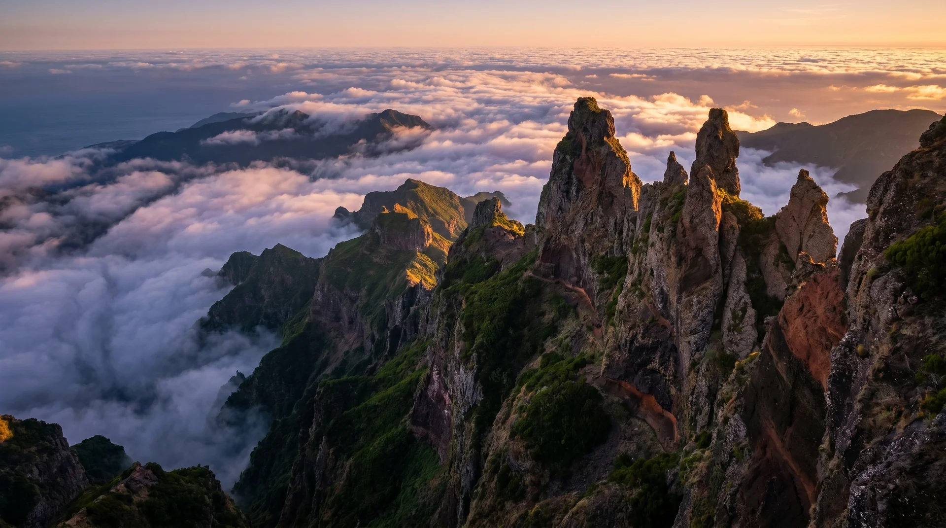
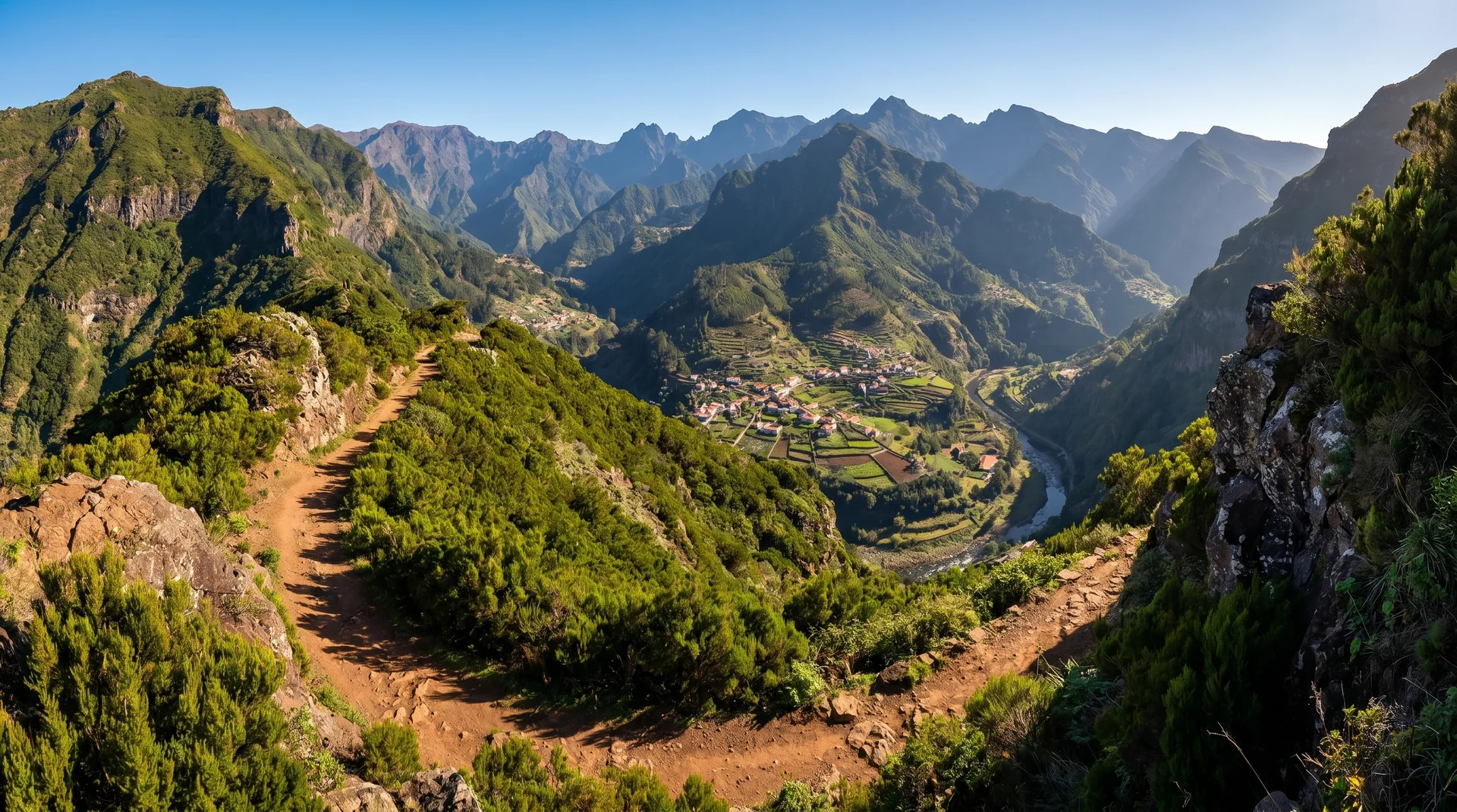
Photography on This Trail
What to Shoot
Best Months
Kit Notes
Wide-angle (14–24 mm) for ridge panoramas. Tripod for the dawn shoulder; sun rises behind you on the descent. Two tunnels need a head torch. Plan transport — point-to-point requires shuttle from Encumeada.