
All Hikes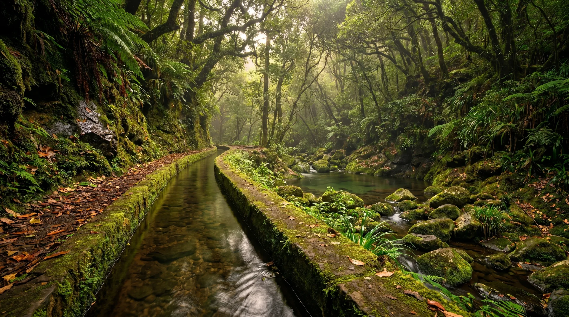
levadaout and back
Levada do Rei
Northeast (Santana & Highlands)10.6 km
Distance
72m
Elevation gain
2.5-4h
Duration
72m
Elevation loss
CardioEasy · 2/5
TechnicalEasy · 2/5
ExposureEasy · 2/5
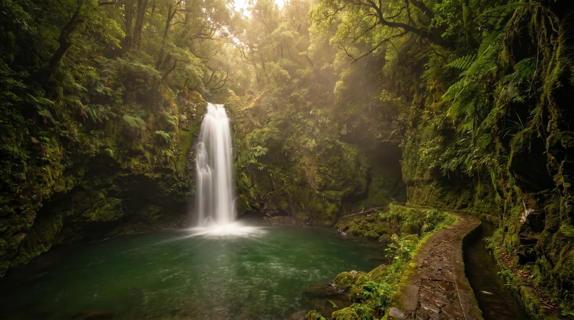
Wide, accessible levada through UNESCO Laurisilva forest to Ribeiro Bonito spring. Beginner-friendly with minimal vertigo risk.
Navigation
Download
Trail Map
Elevation profile
GPX Track
Traced from OpenStreetMap. Works with Garmin, Komoot, AllTrails. Check it against signage on the trail.
Trail data © OpenStreetMap contributors (ODbL) · Elevation: Open-Meteo (Copernicus DEM)
Preparation
Know Before You Go
Hazards & Considerations
Wet and muddy forest path
lowMinimal vertigo-inducing sections
lowAccess Points
Parking
Levada do Rei trailhead parking
More Like This
Similar Hikes in Northeast (Santana & Highlands)
Photography
Photography on This Trail
What to Shoot
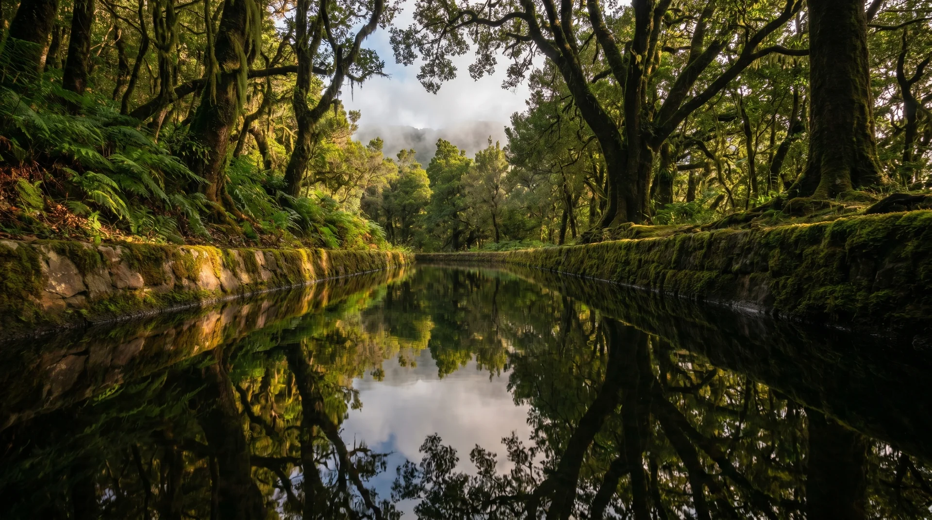
Laurel ForestLevadaUnesco ForestSpring Source
Best Months
OctoberNovemberDecemberJanuaryFebruaryMarchAprilMay
Kit Notes
Standard zoom (24–70 mm). The Ribeiro Bonito spring at the end is a quiet pool — perfect for ¼ s–½ s shutter to silk the surface. Wide accessible levada means you can stop frequently for compositions.
Featured in