
All Hikes

levadaout and back
Levada do Caldeirão Verde
Northeast (Santana & Highlands)Open on the official trail list
Checked 4 Nov 2026 on Visit Madeira. Trails can close at short notice, so check again on the day.
13 km
Distance
150m
Elevation gain
4-6h
Duration
150m
Elevation loss
4
Tunnels
CardioModerate · 3/5
TechnicalModerate · 3/5
ExposureModerate · 3/5
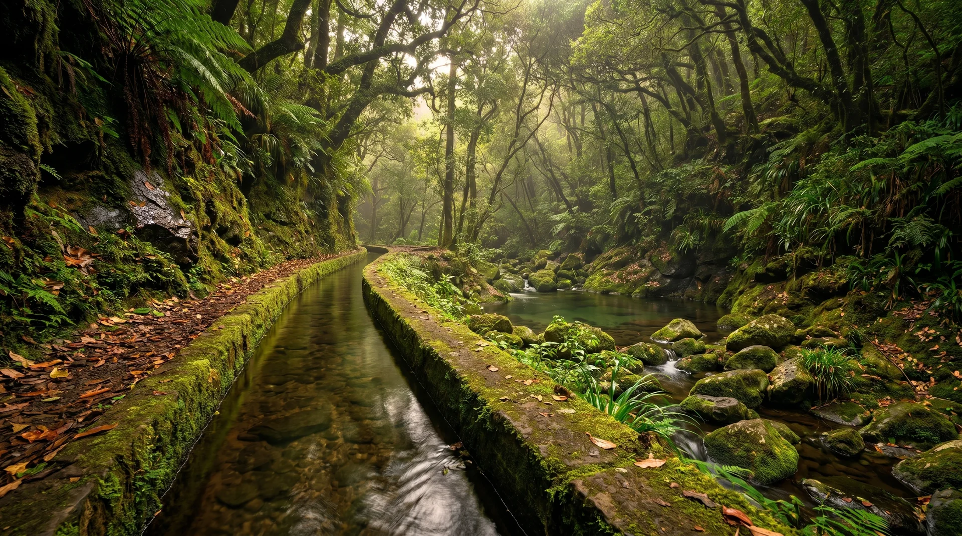
Laurisilva forest levada with 4 tunnels (some low ceilings) leading to 100m waterfall. Extension to Caldeirão do Inferno adds 4.4km.
Navigation
Download
Trail Map
Terrain © Mapzen / AWS Open Data
Elevation profile
GPX Track
Traced from OpenStreetMap. Works with Garmin, Komoot, AllTrails. Check it against signage on the trail.
Trail data © OpenStreetMap contributors (ODbL) · Elevation: Open-Meteo (Copernicus DEM)
Preparation
Know Before You Go
Hazards & Considerations
Four tunnels requiring headlamp/torch
mediumLow ceiling tunnels requiring crouching
mediumConstantly wet and muddy surfaces
mediumCliffside sections with steep drops
mediumWater dripping from tunnel walls and ceilings
lowAccess Points
Parking
Queimadas car park
Photography
Photography on This Trail
What to Shoot
WaterfallLevadaLaurel ForestRock Grotto
Best Months
OctoberNovemberDecemberJanuaryFebruaryMarchApril
Kit Notes
Tripod for waterfall long exposures (¼ s–2 s). Wide angle (16–24 mm) for the grotto. Dry bag or rain cover near the falls. Head torch for tunnel sections.
Featured in