

Vereda da Ponta de São Lourenço
East (Machico to Ponta de São Lourenço)Restricted on the official trail list
This route includes some minor temporary diversions, which are indicated by specific signage and directional arrows; all users must strictly follow the signage and directions provided.
Checked 4 Nov 2026 on Visit Madeira. Trails can close at short notice, so check again on the day.
8 km
Distance
500m
Elevation gain
2.5-5h
Duration
500m
Elevation loss
Volcanic peninsula with no shade, extreme wind exposure, and unprotected cliff edges. Book through SIMplifica before you go; dangerous in high winds.
Trail Map
Elevation profile
GPX Track
Traced from OpenStreetMap. Works with Garmin, Komoot, AllTrails. Check it against signage on the trail.
Trail data © OpenStreetMap contributors (ODbL) · Elevation: Open-Meteo (Copernicus DEM)
Know Before You Go
Exposure warning — Not for heights
This trail has sections with significant drops or narrow ledges. If you're uncomfortable with heights, browse low-exposure alternatives.
Hazards & Considerations
Access Points
Parking
Baía d'Abra car park
Similar Hikes in East (Machico to Ponta de São Lourenço)
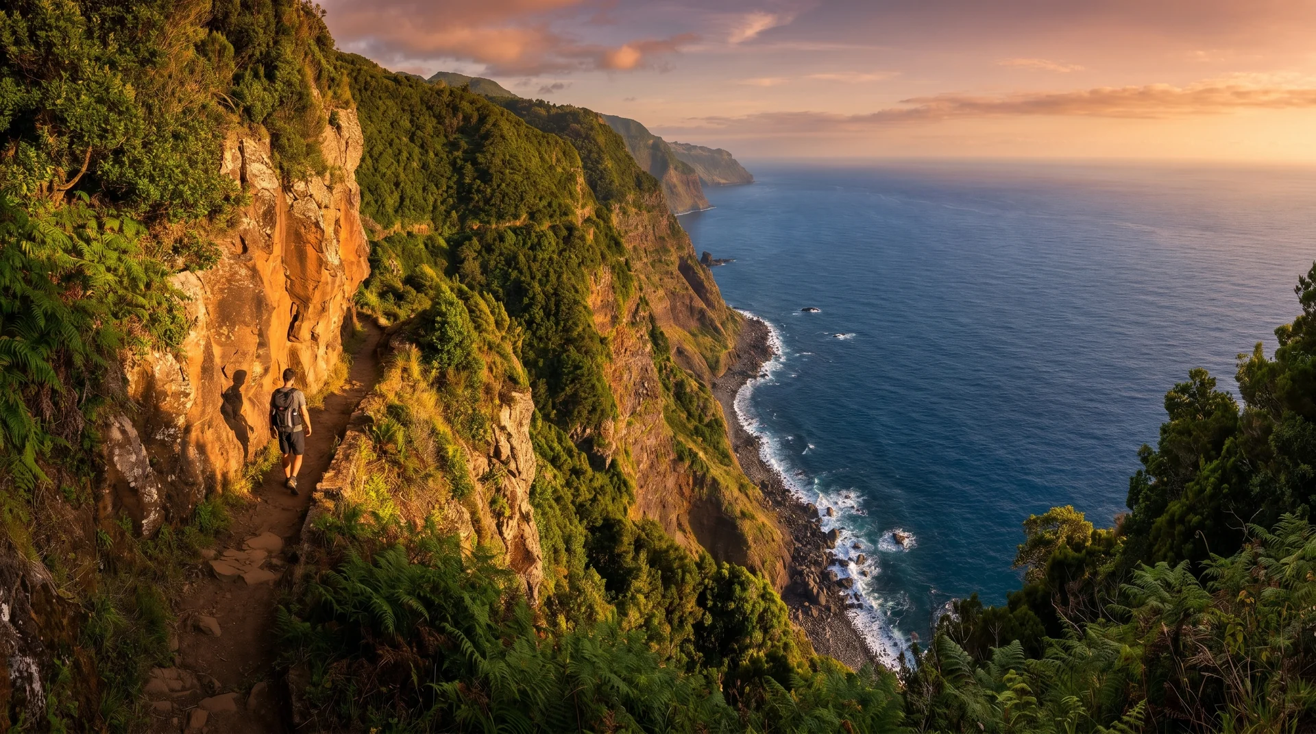
Photography on This Trail
What to Shoot
Best Months
Kit Notes
Wide to ultra-wide (12–24 mm) for the peninsula arms. Polariser essential — cuts Atlantic glare. No shade on the trail; start before 8 AM in summer.