

Vereda do Larano
East (Machico to Ponta de São Lourenço)12 km
Distance
241m
Elevation gain
3-4h
Duration
Stunning rugged coastline trail with EXTREME exposure. Narrow cliffside paths, vertiginous sections for experienced hikers with no fear of heights. One of most scenic in Madeira.
Trail Map
Elevation profile
GPX Track
Traced from OpenStreetMap. Works with Garmin, Komoot, AllTrails. Check it against signage on the trail.
Trail data © OpenStreetMap contributors (ODbL) · Elevation: Open-Meteo (Copernicus DEM)
Know Before You Go
Exposure warning — Not for heights
This trail has sections with significant drops or narrow ledges. If you're uncomfortable with heights, browse low-exposure alternatives.
Hazards & Considerations
Access Points
Parking
Vereda do Larano trailhead parking
Similar Hikes in East (Machico to Ponta de São Lourenço)
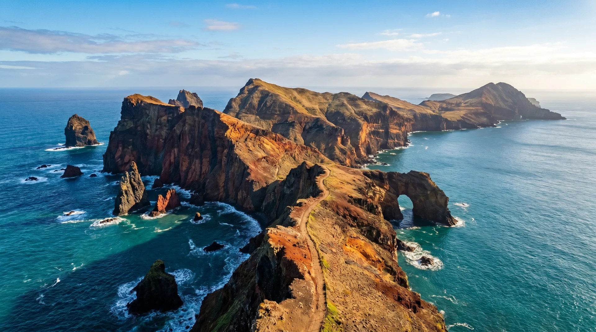
Photography on This Trail
What to Shoot
Best Months
Kit Notes
Wide angle (14–24 mm) for the cliff-edge drama. Body strap and chest strap for the camera — exposure is real. Polariser cuts Atlantic glare. NOT for hikers with vertigo. Often labelled one of the most spectacular trails in Madeira.