
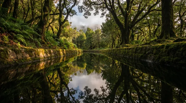
Levada do Furado
Northeast (Santana & Highlands)Closed on the official trail list
Do not plan this walk until it reopens.
Checked 4 Nov 2026 on Visit Madeira. Trails can close at short notice, so check again on the day.
11 km
Distance
200m
Elevation gain
4-5h
Duration
2
Tunnels
One of oldest levadas with tunnels and narrow cliffside sections. Point-to-point route creates logistics challenge for transport.
Trail Map
Elevation profile
GPX Track
Traced from OpenStreetMap. Works with Garmin, Komoot, AllTrails. Check it against signage on the trail.
Trail data © OpenStreetMap contributors (ODbL) · Elevation: Open-Meteo (Copernicus DEM)
Know Before You Go
Hazards & Considerations
Access Points
Parking
Ribeiro Frio roadside parking
Similar Hikes in Northeast (Santana & Highlands)
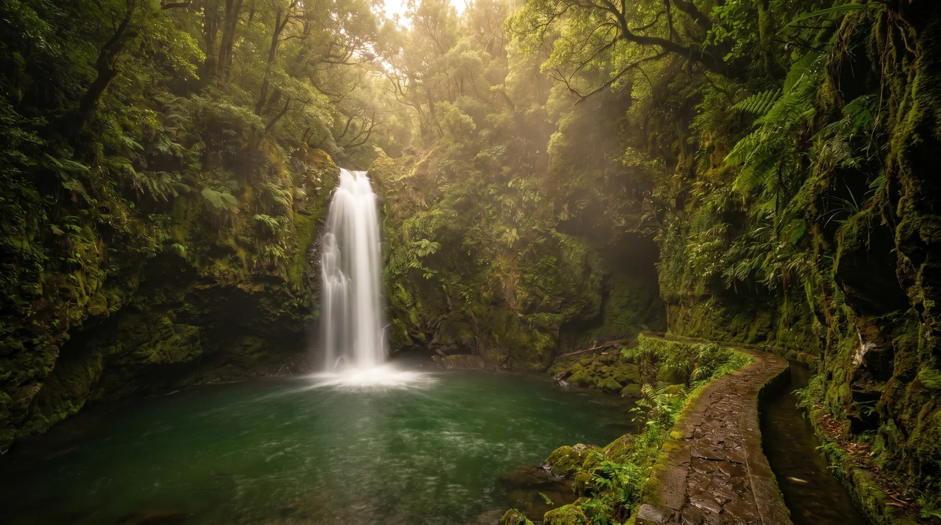
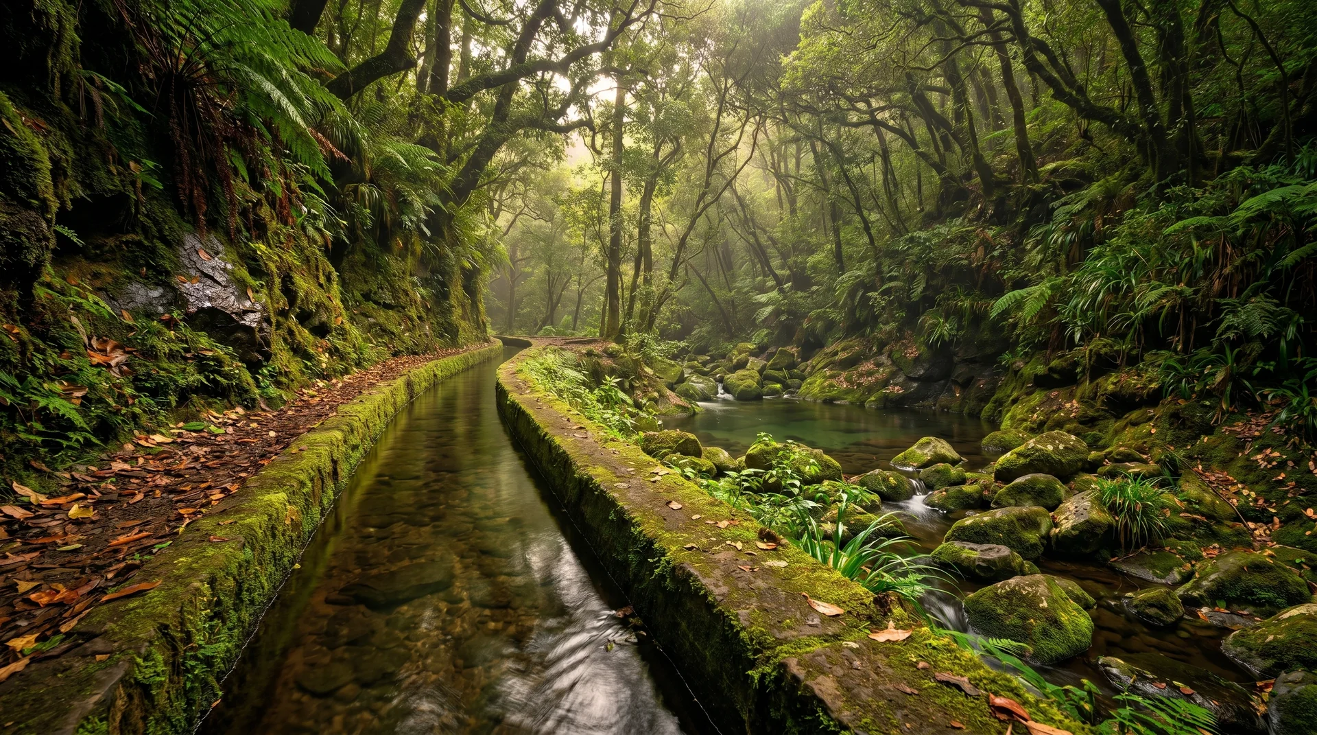
Photography on This Trail
What to Shoot
Best Months
Kit Notes
Wide to standard (16–50 mm). Tripod for levada reflection shots — still water sections mirror the canopy. Long route; plan the most scenic 10 km section rather than the full trail.