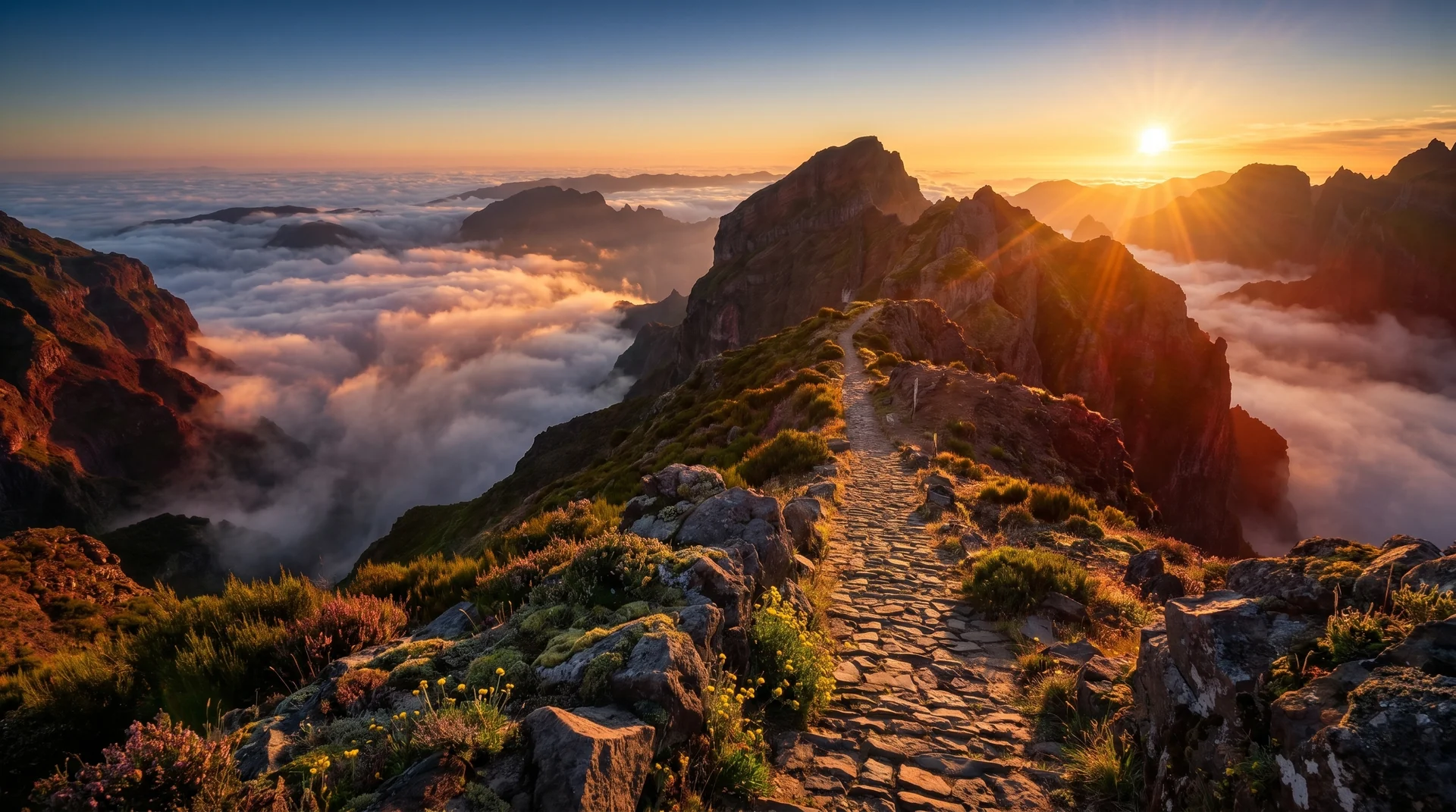
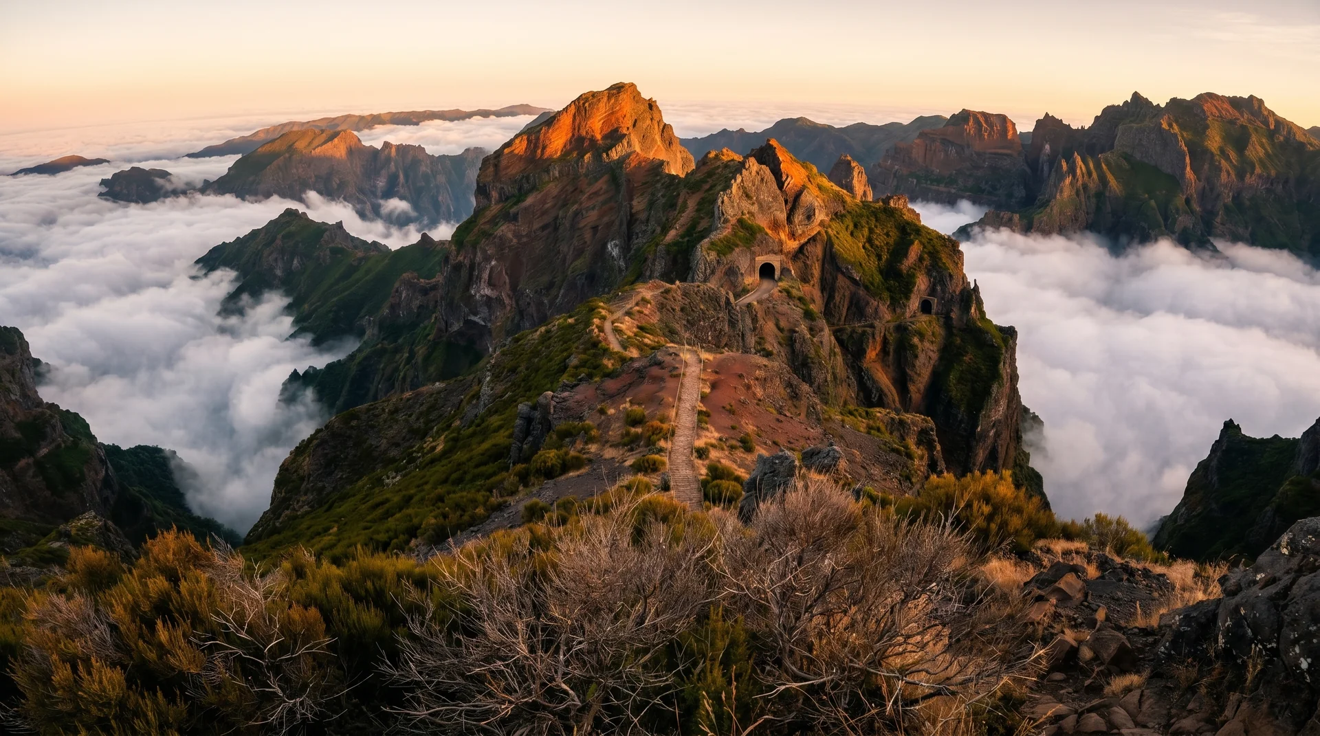
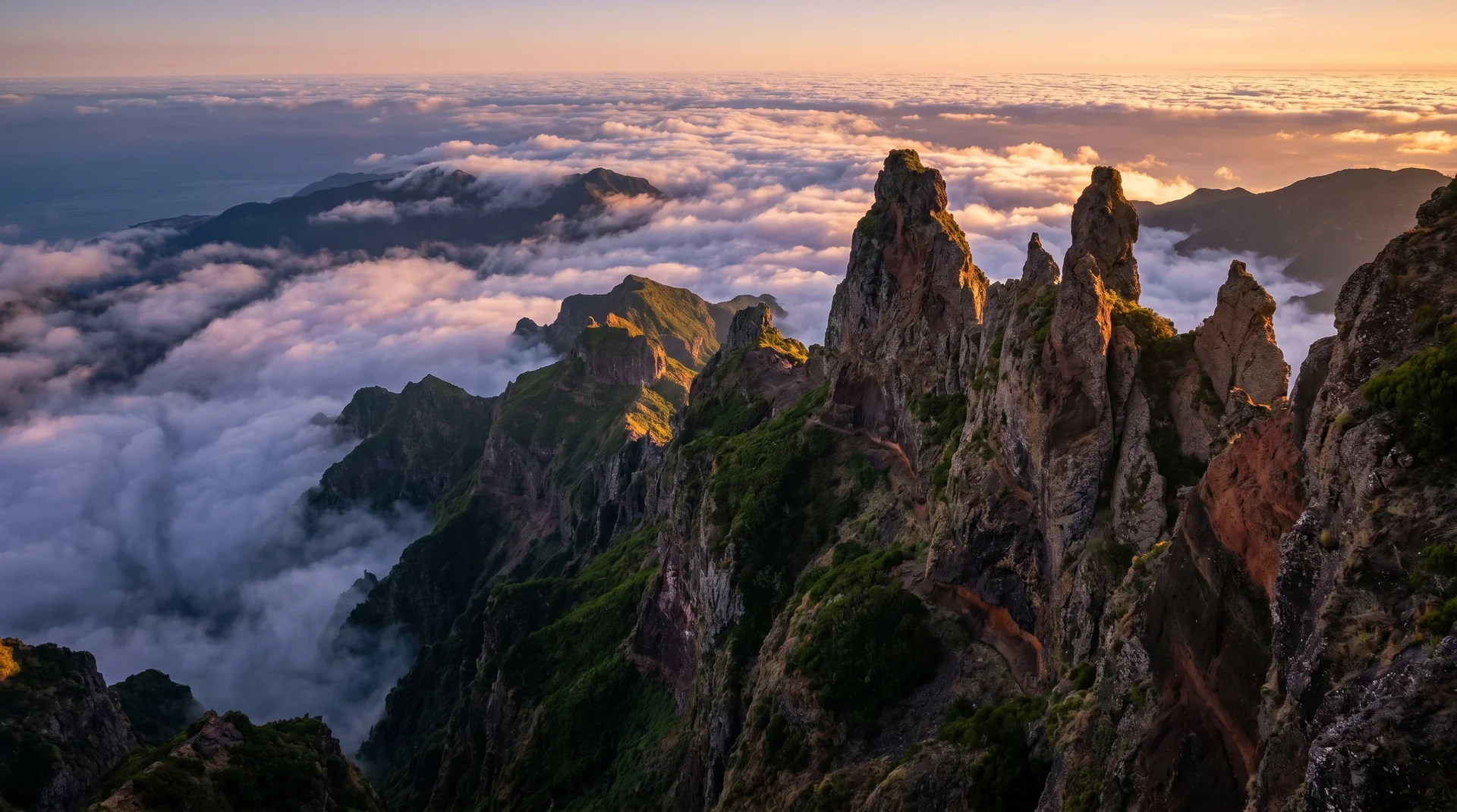
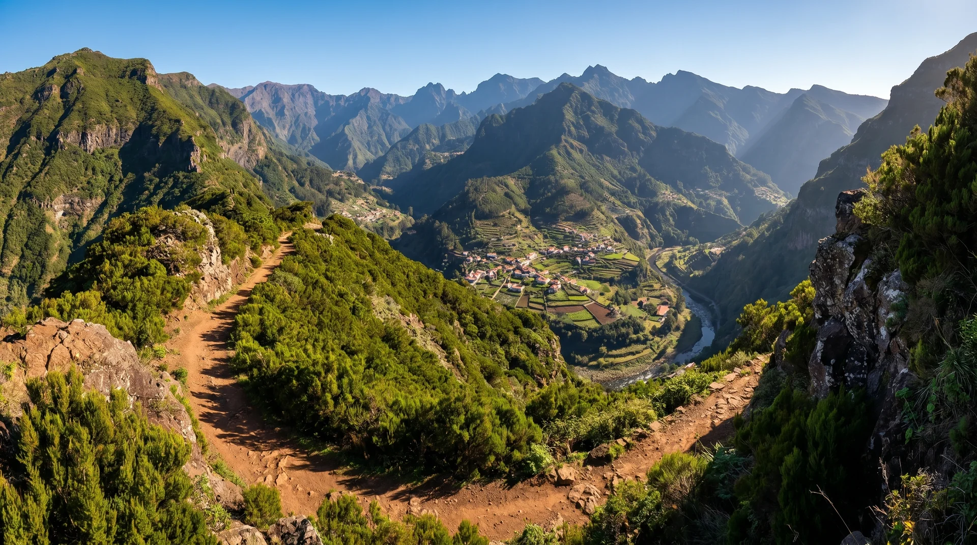
An old royal road between Boca da Corrida and Encumeada, contouring the flank of the central massif with Curral das Freiras opening up below. Long but steady, with far less climbing than its length suggests.
Navigation
Trail Map
Use ⌘ + scroll to zoom the map
Use two fingers to move the map
Elevation profile
GPX Track
Traced from OpenStreetMap. Works with Garmin, Komoot, AllTrails. Check it against signage on the trail.