
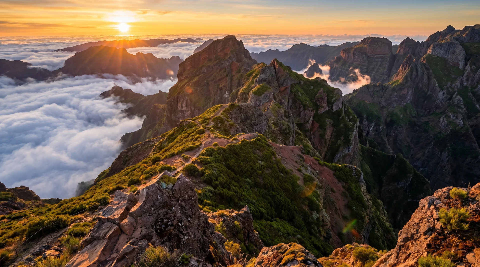
Mountain Hikes
Conquer volcanic peaks reaching nearly 1,900 meters with 360-degree panoramas and exposed ridgeline trails
Madeira's central plateau reaches 1,862m at Pico Ruivo, and the mountain trails connecting its peaks are genuinely demanding. Exposed ridgelines, sudden cloud cover, and significant elevation gain make these hikes rewarding but serious. The classic PR1 ridge walk between Pico do Arieiro and Pico Ruivo is one of Europe's finest high-altitude routes — technical terrain, irreplaceable views, and real exposure in equal measure. Other peaks like Bica da Cana and Fanal offer solitude that lower levada trails cannot match. These are not beginner hikes. Check forecasts before you go; mountain conditions change fast and cloud can roll in within minutes of a clear morning start.
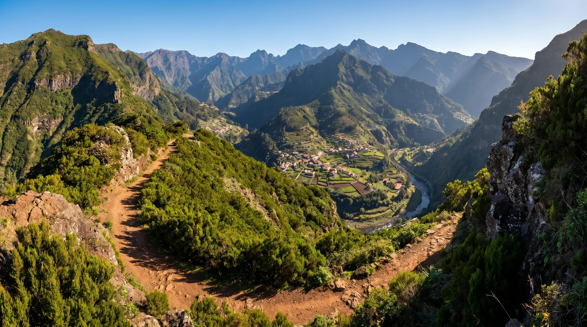
Vereda do Urzal
Mountain traverse from Nun's Valley to north coast with 931m descent. Connects to PR1.3 at Boca das Torrinhas; views of Pico Ruivo and valley peaks.
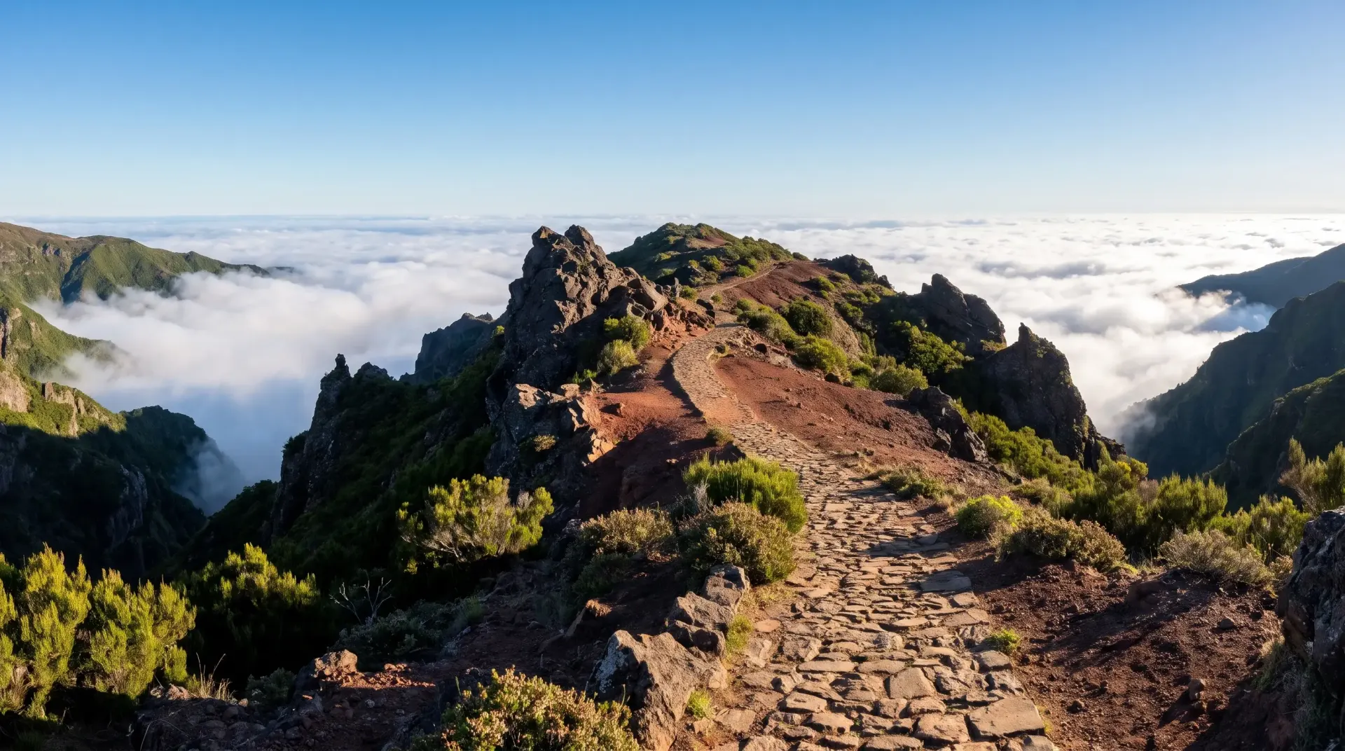
Vereda da Encumeada
RestrictedThe long way onto Pico Ruivo: a high traverse from Encumeada over the western shoulder of the massif, climbing steadily through heath and bare rock. Committing, exposed in places, and the least crowded approach to the summit.
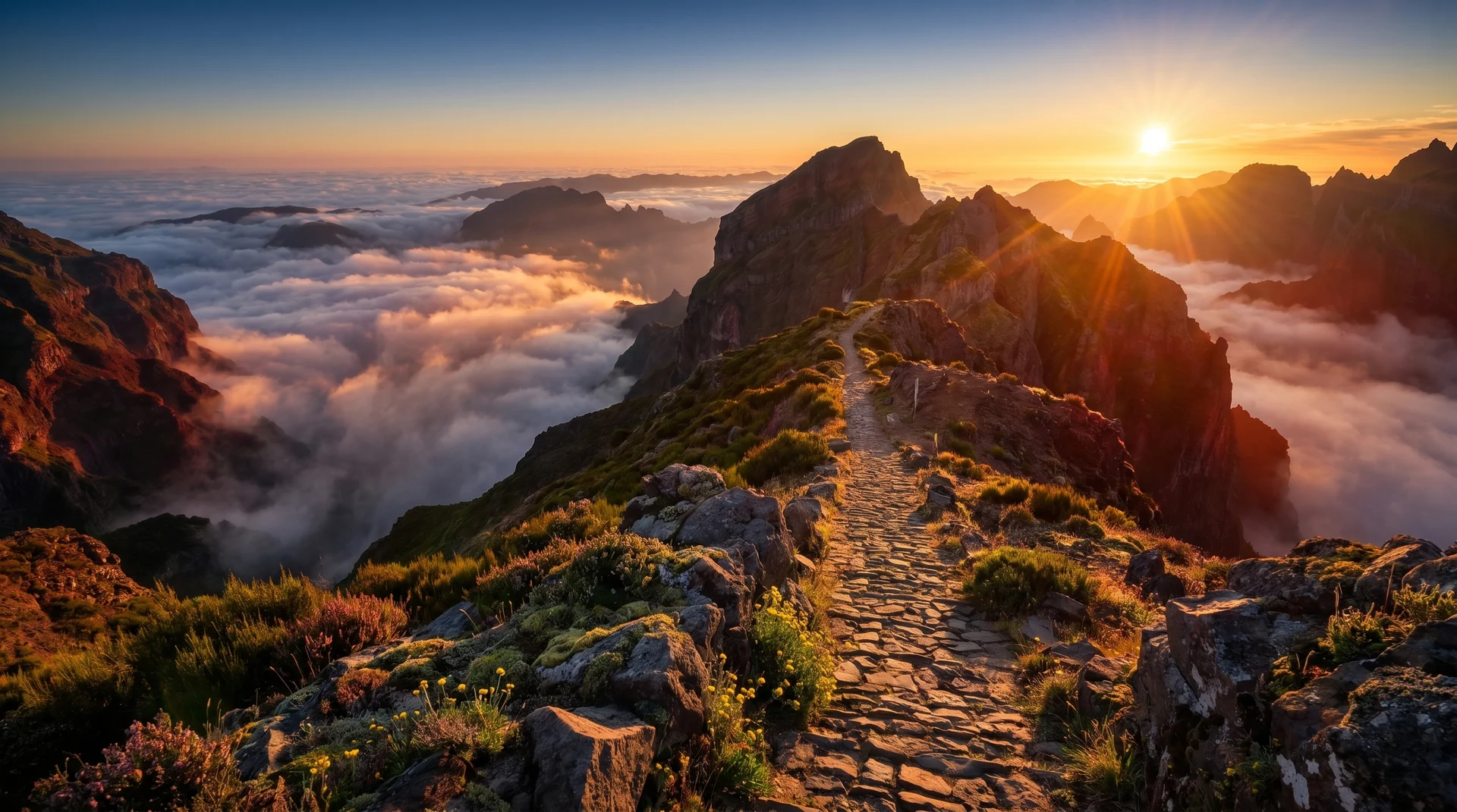
Vereda do Arieiro (Pico Arieiro to Pico Ruivo)
Madeira's iconic peak-to-peak traverse with narrow ledges, tunnels and vertigo-inducing drops: 6.1 km from Pico do Areeiro to Pico Ruivo, one-way past the Pedra Rija viewpoint, so arrange a pickup. A shorter return walk to Pedra Rija (1.2 km each way) costs €4.50. Reopened in 2026 after the wildfire reconstruction, and still closes often in bad weather.
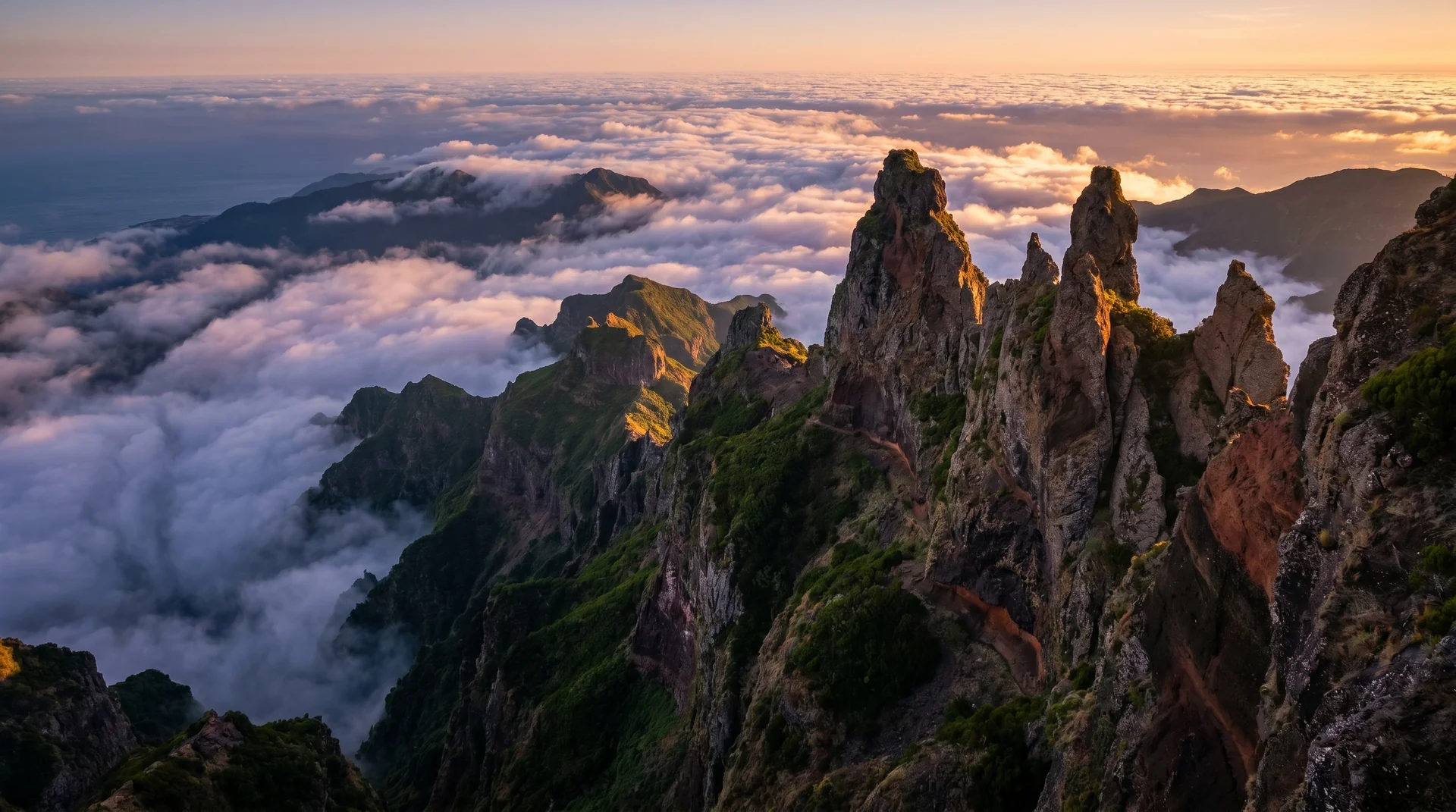
Caminho do Pináculo e Folhadal
Extreme levada with tunnels up to 900m, some of them waist-deep in water. Closes for long stretches; check the trail status before planning around it.
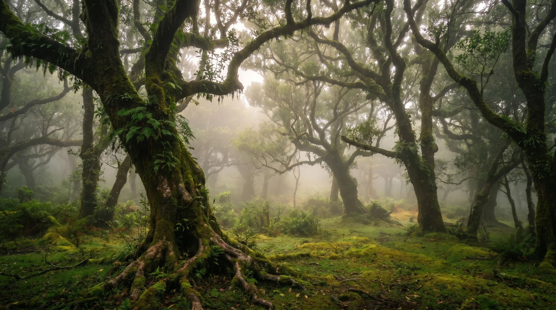
Vereda do Fanal
Ridge traverse through mystical Fanal Forest with ancient twisted trees. Minimal elevation but fog common; navigation difficult in low visibility.
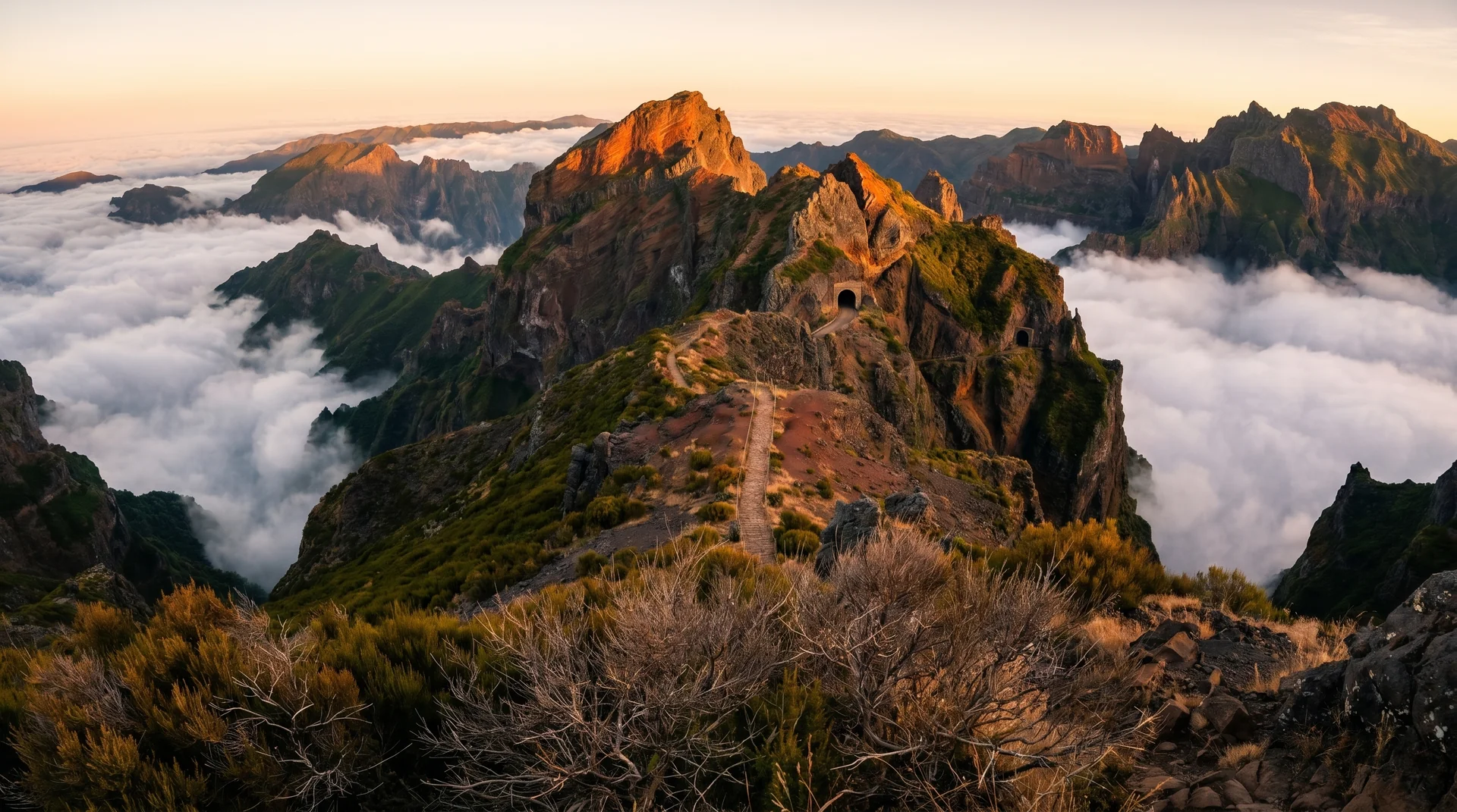
Vereda do Burro
From just below Pico do Areeiro at 1,805 m down to the Funchal Ecological Park Welcome Centre at 1,130 m, through the high-altitude flora of central Madeira. Graded easy on the official list, and one-way, so arrange transport at the far end.
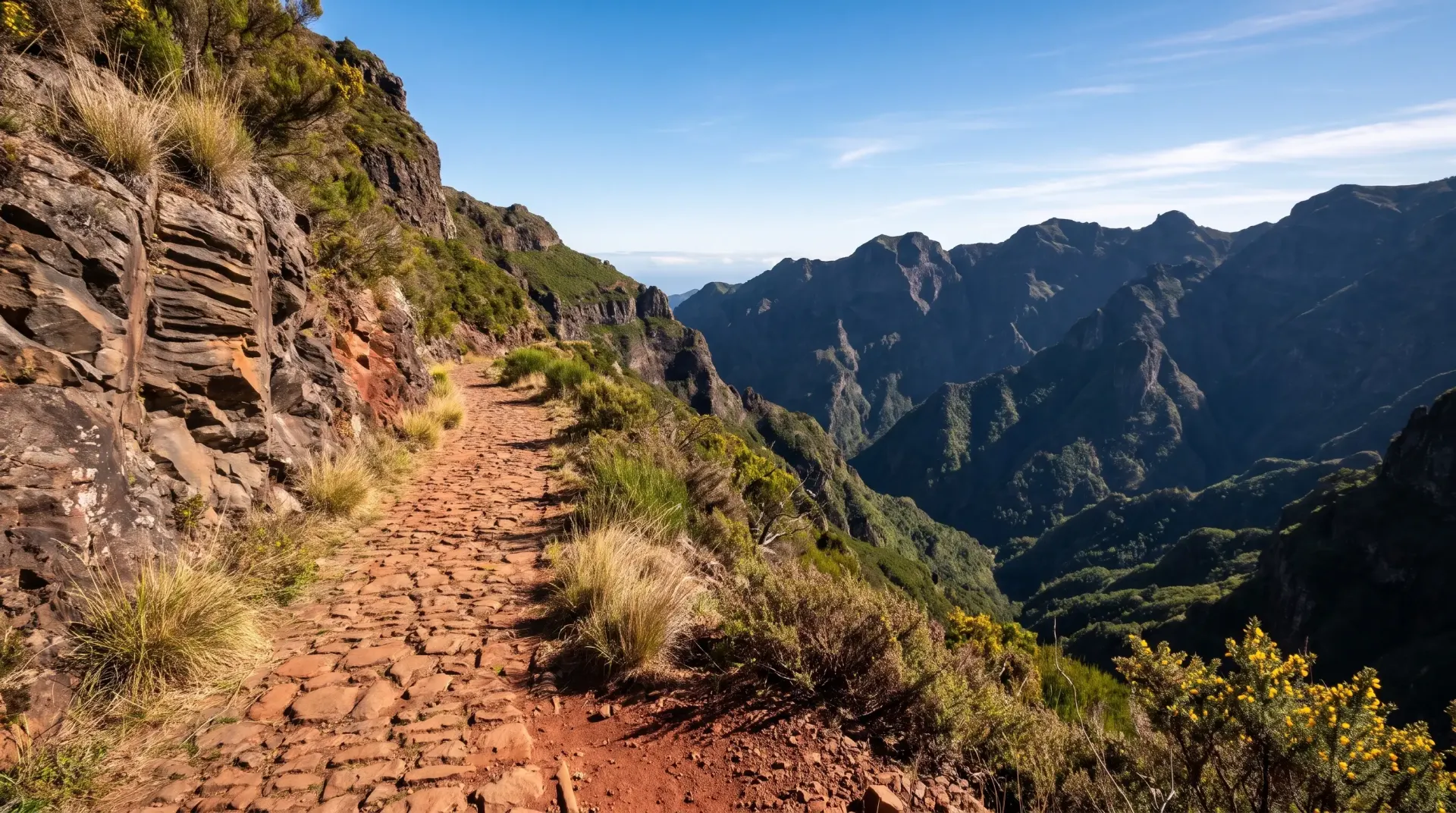
Caminho Real da Encumeada
RestrictedAn old royal road between Boca da Corrida and Encumeada, contouring the flank of the central massif with Curral das Freiras opening up below. Long but steady, with far less climbing than its length suggests.
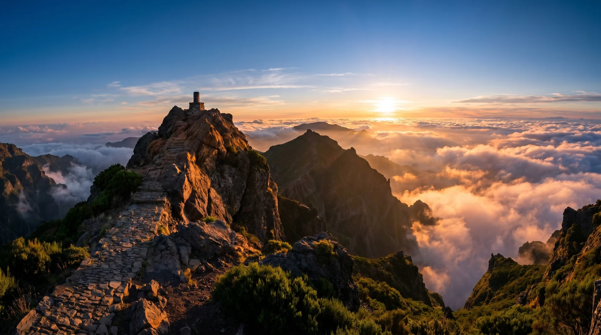
Vereda do Pico Ruivo (from Achada do Teixeira)
Shortest route to Madeira's highest peak (1862m). Mostly stairs, suitable for families but weather changes rapidly at altitude.
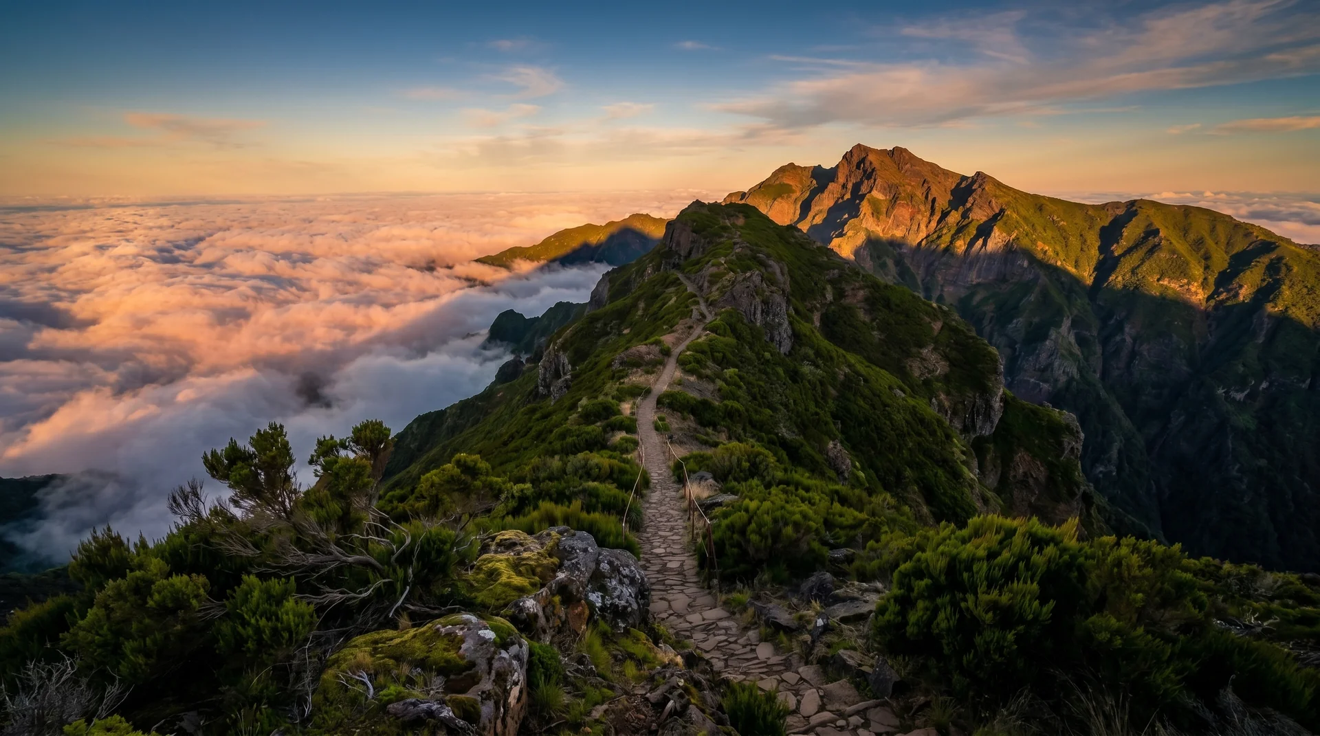
Vereda da Ilha
Long one-way descent from the Pico Ruivo shelter down to the village of Ilha, losing about 1,270 m over 8.2 km through high heath and then laurel forest. Ends far from the trailhead, so arrange transport before you start.
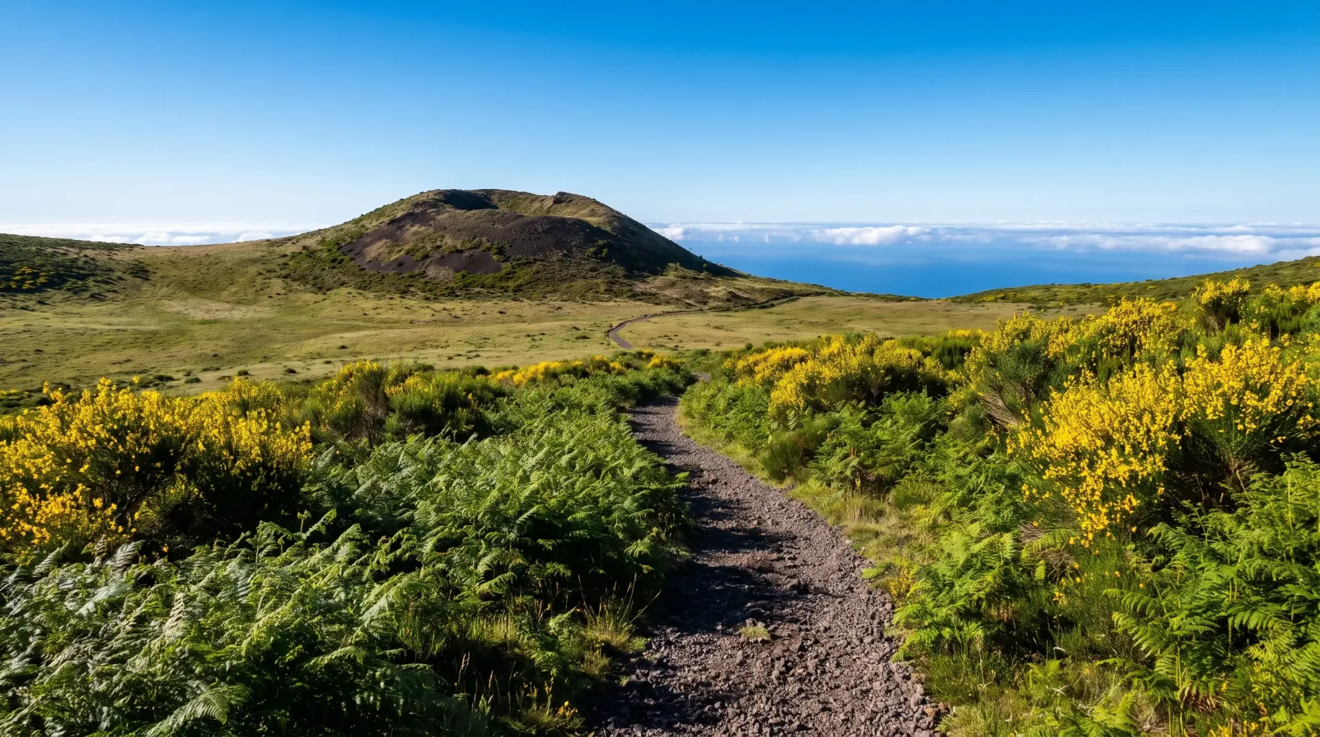
Glaciar de Planalto
ClosedCrosses the Paul da Serra plateau from Bica da Cana to the ER105, past rock features that record an ancient glacier. Short and rocky underfoot, and one-way, so arrange transport at the far end.